Mt Dandenong to Mt Evelyn Walking Track
Mt Dandenong all the way to Mt Evelyn is a fair hike, downhill all the way of course. The return walk does involve an uphill slog which can be avoided by using public transport, especially if kids are involved perhaps.
- A deviation to Olinda Falls can be included during the walk.
- To make the walk longer, start in Olinda and walk to the summit of Mount Dandenong
WALK NOTES:
- Return Distance: Approximately 18km’s
- Time: 4-5 Hours return approximately
- Easy > Moderate > Reasonable fitness required for the uphill sections from Mt Evelyn to Mount Dandenong.
- Parking available at Skyhigh, Mount Dandenong (parking charge applies) if starting from the top, or along Ridge Road near the corner of Falls Road. GET DIRECTIONS
- Parking is also available at the Mt Evelyn Recreation Reserve, doing the walk in reverse will mean the uphill walking is completed first…
- Picnic spots at Mount Dandenong (Cafe at SkyHigh), the Mount Dandenong Arboretum, by Olinda Falls car park and at Mt Evelyn Recreation Reserve – or trackside!
- Toilets available on Mt Dandenong, near Olinda Falls Car park and Mt Evelyn Recreation Reserve.
- Walking trails can get muddy and slippery in wet weather and during winter. Use caution, wear suitable shoes or boots.
- Mechanics Track is most prone to being muddy, though it is a lovely walk.
Notes for walking in the reverse direction, Mt Evelyn to Mt Dandenong summit are at the end of the page.
Public Transport:
Train to Upper Ferntree Gully or Croydon then bus route no. 688 that runs along Ridge Road and through the Skyhigh parking area. There is a cafe here, so a good way to start the walk!
Bus route no. 679 towards Ringwood operates from Mt Evelyn to Montrose where a connecting bus (route 688) from Montrose to Mt Dandenong can be boarded to make this a one-way walk if a vehicle is parked at either end. The
688 runs alternate trips along the Tourist Road or Ridge Road and Skyhigh, make sure to get the one that goes to Skyhigh.
Check timetables with Public Transport Victoria.
Mt Dandenong to Mt Evelyn Recreation Reserve
- Mount Dandenong | SkyHigh, walk down the exit road, turn left onto Trig Track then onto Kyeema Track until reaching Ridge Road.
- Cross over Ridge Road and walk down through the Mount Dandenong Arboretum to the Tourist Road.
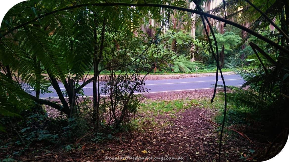
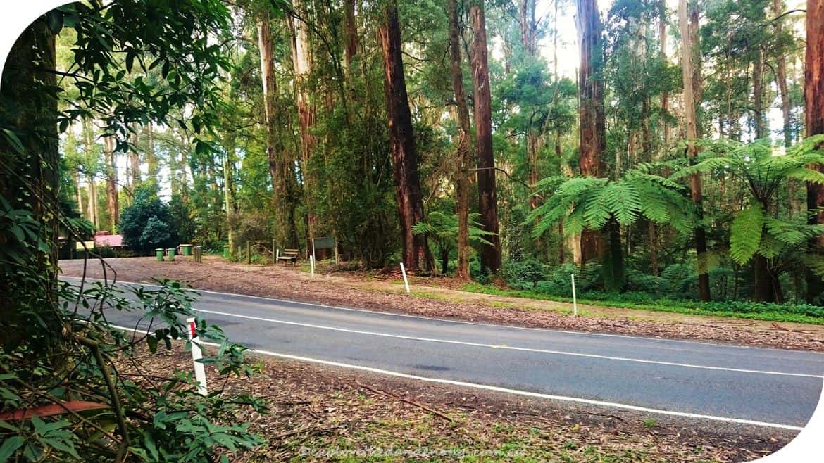
- Cross over the Tourist Road and look to the left for the beginning of Mechanics Track. Follow Mechanics track down, over Farndons Road and continue to Falls Road.
- Falls Road – when you reach Falls road, turn right and walk, along the road, a few hundred metres until Bartlett Track is on the left. Follow Bartlett Track.
- 3-way intersection of walking tracks. Continue straight ahead on Bartlett Track until joining Barges Track where there is a right-hand turn to walk down to meet Georges Road (still just a track despite being called ‘road’).
- At Georges Road/Track, turn left and walk about 100 metres until Olinda Creek Road is reached.
- Cross over Olinda Creek Road and join Track 13 which continues a couple of kilometres to Pipeline Track.
- Track 13 – keep walking until meeting Pipeline Track and then turn left, follow Pipeline or Olinda Creek Track as both intersect each other. Pass close by the end of Murremburg road and keep walking…
- Walking down an open grassy slope, keep going…
- After walking down the grassy slope, turn right at the gate onto a small track which soon comes out by the Mt Evelyn Recreation Reserve.

Trig Track

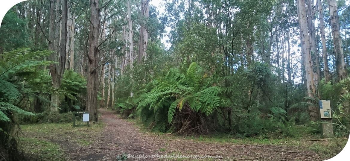
From Kyeema Track, cross over Ridge Road and walk down through the Mount Dandenong Arboretum.
Cross over the Tourist Road.
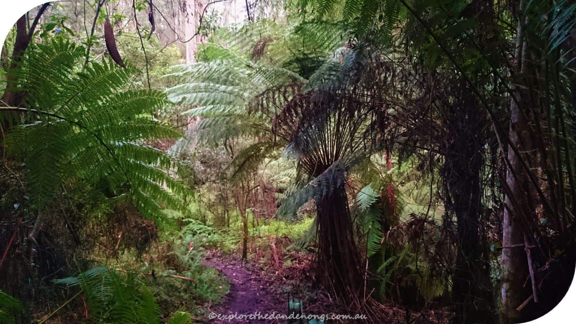
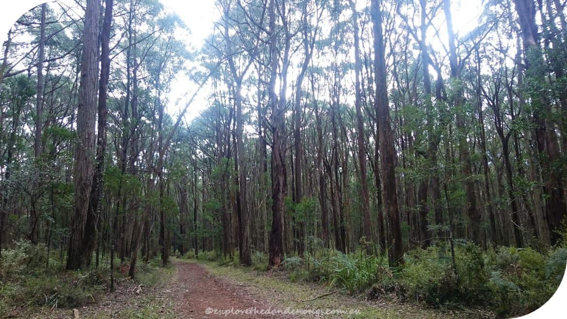
Mechanics Track – so pretty. Watch out for mud and slippery spots… Can be tricky for little kids…
Cross over Farndon’s Road and continue on Mechanics Track.
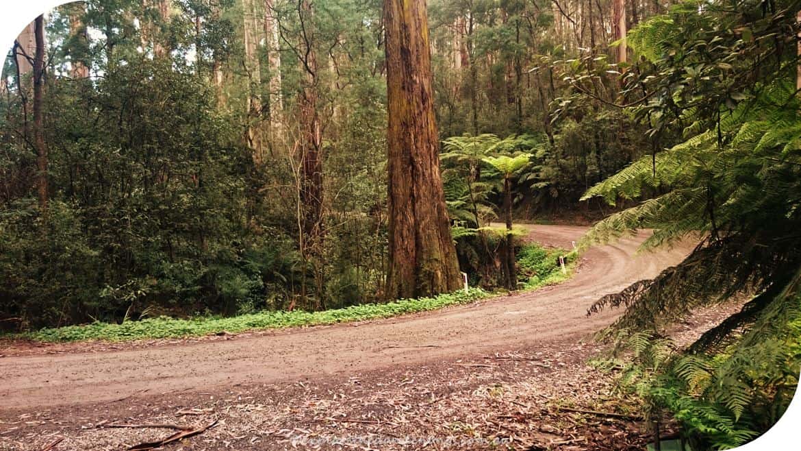
Falls Road crossing.
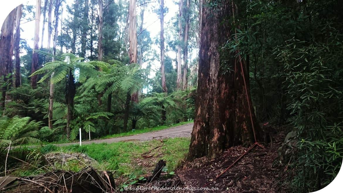
Bartlett Track leading off to the left beside a gorgeous eucalypt.
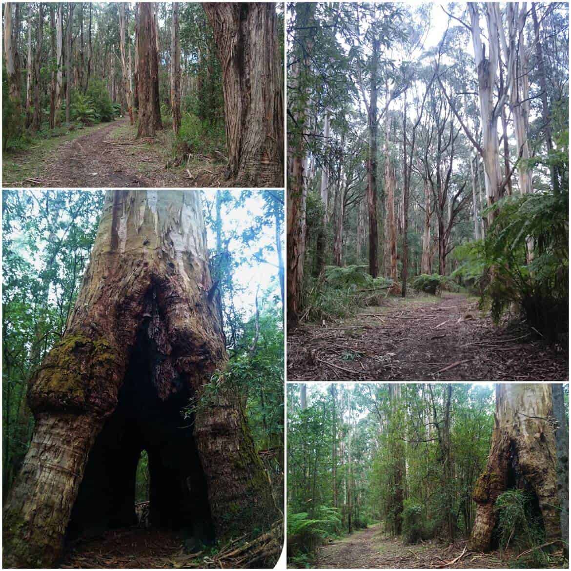
Down Bartlett track, past an awesome hollowed out tree…
The 3-way intersection of walking tracks.
Barges Track as it winds down to Georges…
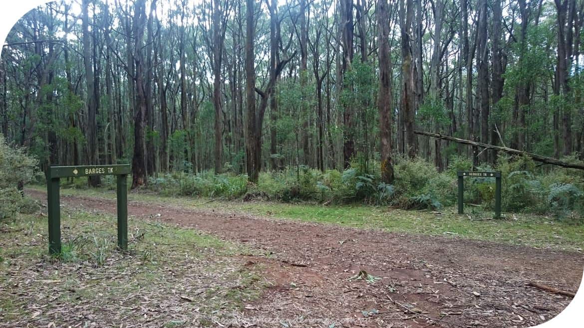
Georges Track junction with Barges Track.
Cross over Olinda Creek Road and join Track 13 which continues a couple of kilometres to Pipeline Track.
Track 13 – keep walking until meeting Pipeline Track and then turn left, follow Pipeline or Olinda Creek Track as both intersect each other. Pass close by the end of Murremburg road and keep walking…
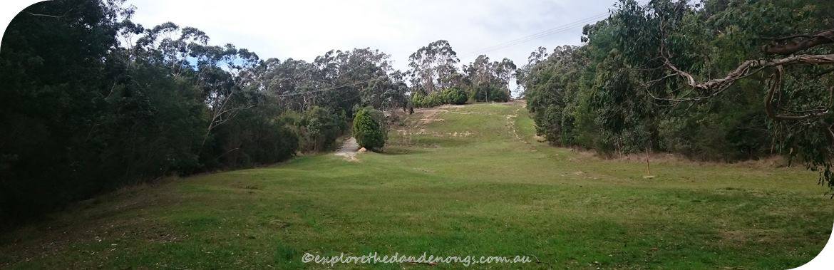
Walking down an open grassy slope, keep going…
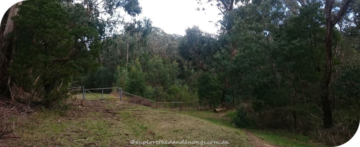
After walking down the grassy slope, turn right at the gate onto a small track which soon comes out by the Mt Evelyn Recreation Reserve.
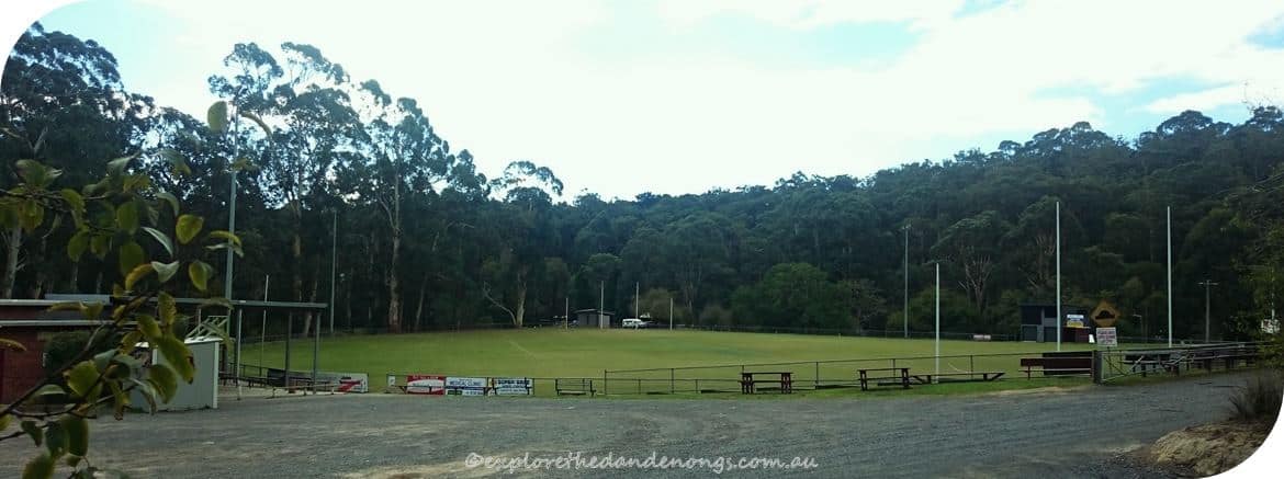
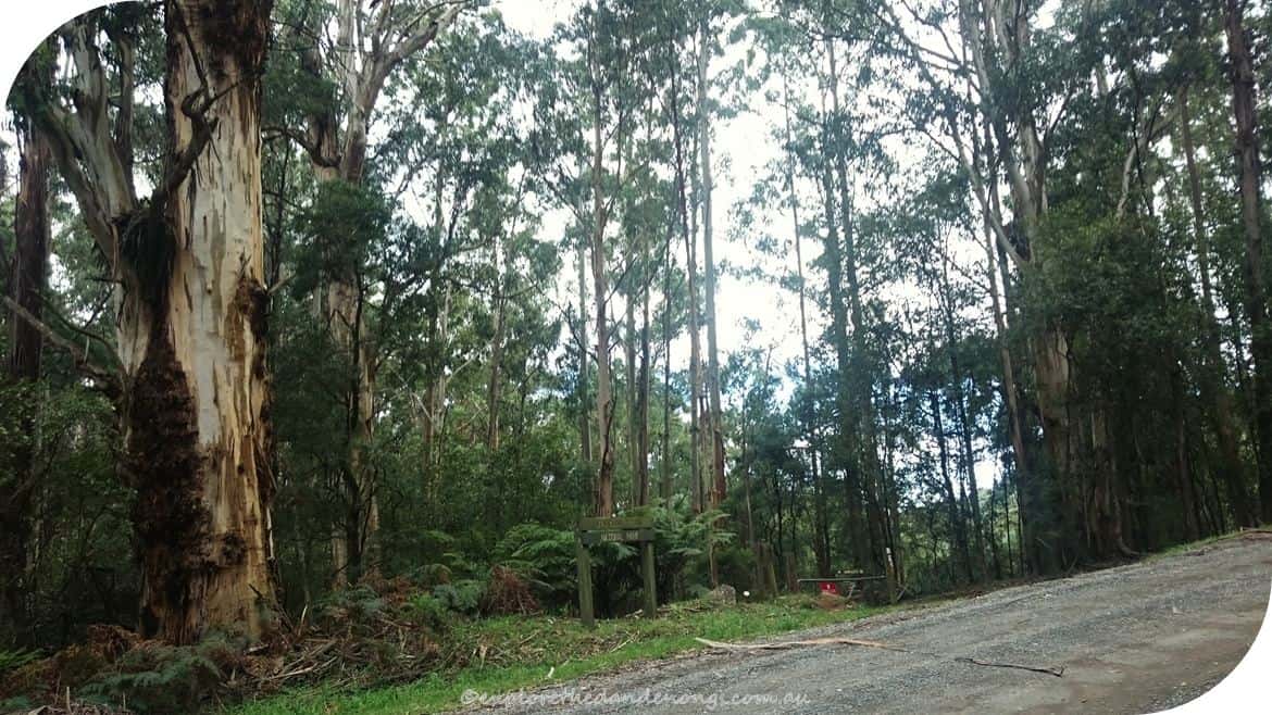
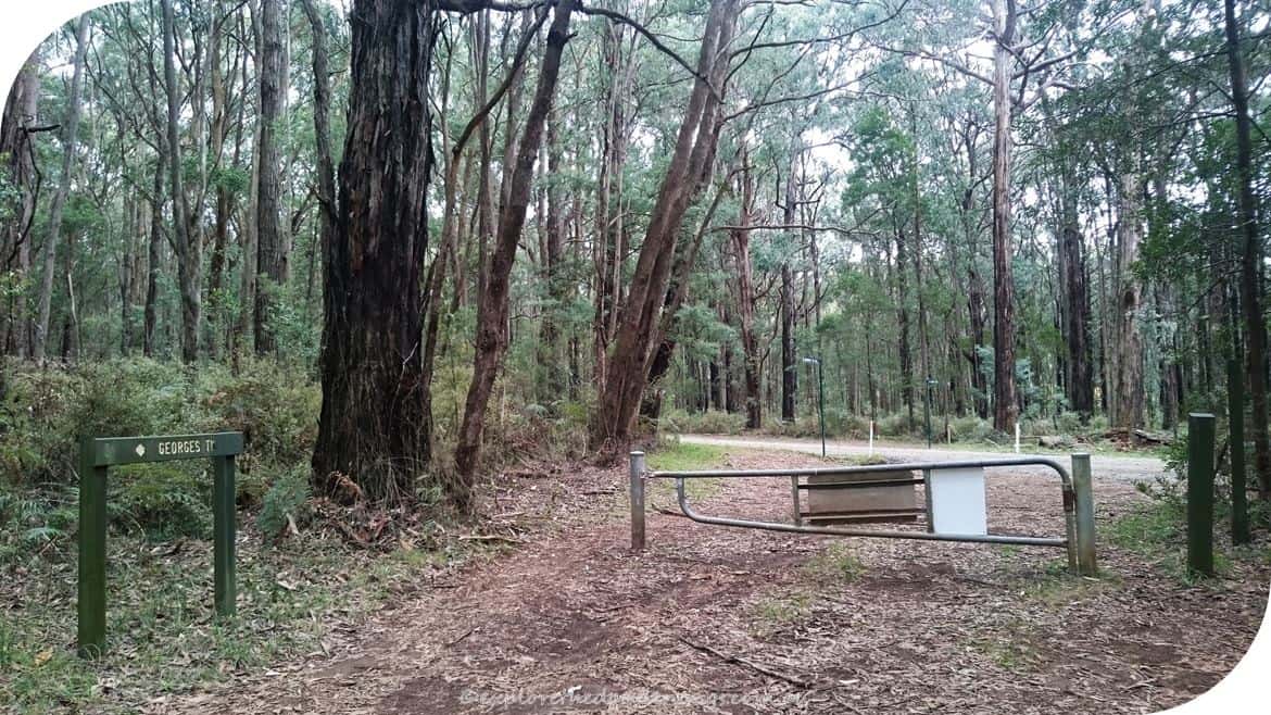
Mt Evelyn Recreation Reserve – Tramway Road to the left leads onto York Road and Mt Evelyn Township is up to the right. On the other side of the reserve are toilets, playground and BBQ’s.
Another good walk to Mt Evelyn is from near Silvan Reservoir, find the walk notes here.
Reverse Order Walk Directions
- Mt Evelyn Recreation Reserve – From the car park walk onto the track (as marked on the map below)
- Turn left where it joins the main trail and continue up the hill.
- Follow Olinda Creek Track/Pipeline Track a couple of km’s until the turn off for No. 13 Track on the right.
- Continue on No. 13 Track for a couple of km’s, cross over Olinda Creek Road onto George’s Road.
- Turn right onto Barges Track and continue to the junction with Bartlett Track.
- Follow Bartlett Track to Falls road, turn right and walk down Falls Road about 300 metres until Mechanics Track is on the left.
- Walk up Mechanics Track, crossing over Farndon’s Road, until coming to the Mt Dandenong Tourist Road.
- Cross over the Tourist Road and enter the Mt Dandenong Arboretum, the track is visible to the left.
- Walk up through the Arboretum, keeping to the right-hand track until meeting Ridge Road.
- Cross over Ridge Road onto Kyeema Track, walking along to the left until Trig Track leads off to the left.
- Follow Trig Track all the way up to SkyHigh, Mt Dandenong.
This article may include affiliate links. Please read our disclaimer.