Mt Dandenong Hiking Trail from Ferntree Gully – 6/8 Hours
The Mt Dandenong Hiking Trail from Upper Ferntree Gully is one of the longest and most challenging of all the walking tracks in the Dandenong Ranges. It can be broken up into two sections perhaps, or even three… Download a Maps App, bring food and water, plus anything else for a safe hike, and spend hours in the Dandenongs keeping to the forest trails.
Depending on how much walking is preferred, the walk could easily be started at One Tree Hill Picnic Ground where parking is generally easier to find.
Traversing the Dandenong Ranges on the western slope is a hike to add to any bucket list of things to do in the hills. Views, gullies, and tall forests make the Mt Dandenong Hiking Trail a walk that is one of the best in the Dandenong Ranges.
For anyone doing the walk in the reverse direction, starting at Skyhigh, Mt Dandenong, and walking to Upper Ferntree Gully, the notes are at the end of this page.
Walk Notes:
- 20 Kms | 6-8 Hours ONE WAY
- Moderate > Hard Walking with plenty of steep hill climbs and descents.
- Picnic Grounds and toilets at Upper Ferntree Gully Park, One Tree Hill, Doongalla Homestead, and SkyHigh, Mount Dandenong.
- Heed weather warnings. Use caution and do not hike in high winds, extreme heat, or fire bans days.
Get Directions to the Upper Ferntree Gully Park or to One Tree Hill car park
Get Directions to SkyHigh, Mt Dandenong (Parking fees apply)
Public Transport: Train to Upper Ferntree Gully then turn left out of the station and walk about 1km to the start or catch the route no. 688 bus and get off at the first stop outside the National Park. OR Start at Mt Dandenong Summit, train to Upper Gully or Croydon, and then bus route no. 688 going to Skyhigh.
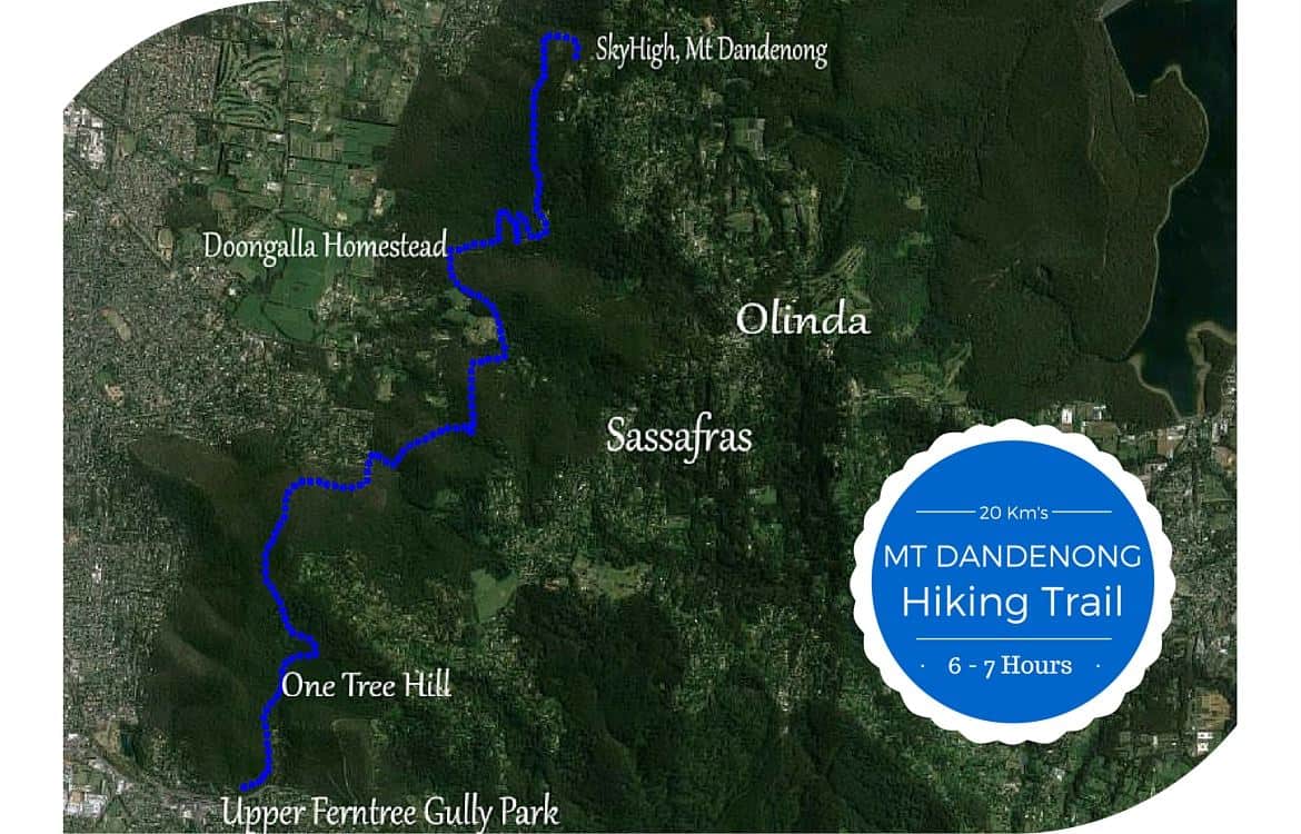
Starting at Upper Ferntree Gully Park by the Stone Memorial Archway:
Follow the main trail past the Kokoda Memorial and playground to the junction of the 1000 Steps/ Kokoda Trail and Lyrebird Track.
Walk to One Tree Hill picnic ground via the 1000 Steps or Lyrebird Track. Both join up at the top and continue into the picnic area.
From One Tree Hill picnic area, walk straight ahead through the picnic area, past the public toilets on your right.
Continue down the steep descent of Tyson Track
Join onto Janesdell Track, heading right.
From Janesdell EITHER go left onto Dobson Track which joins Alpine Track OR continue walking until reaching Alpine Track and turn left.
Follow Alpine Track until reaching the Mountain Highway.
Turn right onto Mountain Highway and walk less than 100 metres to Ferndale Road. Cross over Mountain Highway and follow Ferndale Road. It passes through a couple of Parks Victoria gates.
Beware of cars and Cyclists! Use extreme caution crossing Mountain Highway as cyclists can come very quickly around the bend downhill and are very hard to hear coming.
Follow Ferndale Road, which is part public road and part National Park, until reaching a junction with Old Coach Road. Turn right onto Old Coach Road/Track.

Head up Old Coach Track until joining School Road which branches off to the left, then turn onto Bradley Track leading off School Road to the left.
OR Make a pit stop in Sassafras by continuing up Old Coach Track. It is about 15 minutes walk into Sassy… then return down to continue the walk.
Bradley Track goes down past a gateway onto Basin-Olinda Road, turn onto the road at this point. Walk a short distance up the road to the right and then turn left down onto Banksia Track…
Banksia Track is a pretty walk through lush forest to then join Ridge Track, head left on Ridge Track until reaching Doongalla Road.
Right-turn up Doongalla Road for about 1km to the picnic reserve. There is a walking track alongside Doongalla Road that can be used.
From the top parking area of Doongalla Reserve (Toilet block on the right), follow Channel 10 Track all the way up and up…
Until Zig Zag Track leads off to the right. Head up Zig Zag Track until it joins Tower Track, follow Tower Track, walking close by the TV Transmission Tower, until meeting with Kyeema Track.
Turn left onto Kyeema Track, passing Burkes Lookout. A smashing spot to stop and gaze across the city to Port Phillip Bay, the You Yangs, Melbourne and Macedon Ranges…
Kyeema Track undulates somewhat and runs along below SkyHigh and the summit of Mt Dandenong. It is 1.5km’s from Burkes Lookout to Trig Track which leads off to the right, follow this track all the way up to Mt Dandenong and SkyHigh… Cafe, view-points, maze, gardens…

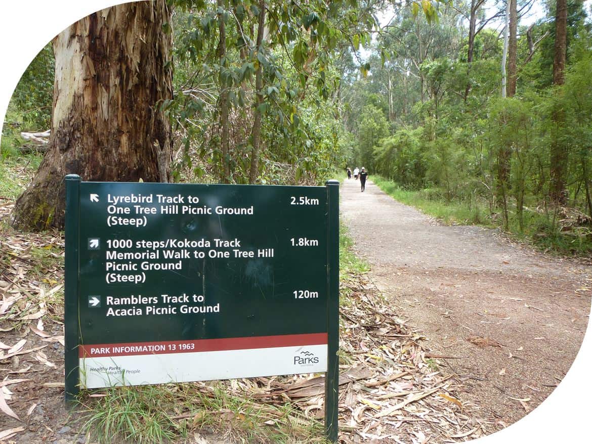
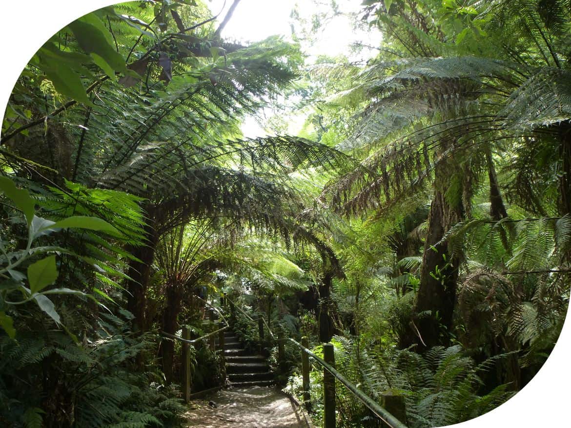
1000 Steps | Kokoda Memorial Track. A fabulous walk, though somewhat over-run with people using it as a fitness trail. Take the time to read the memorial plaques along the way.
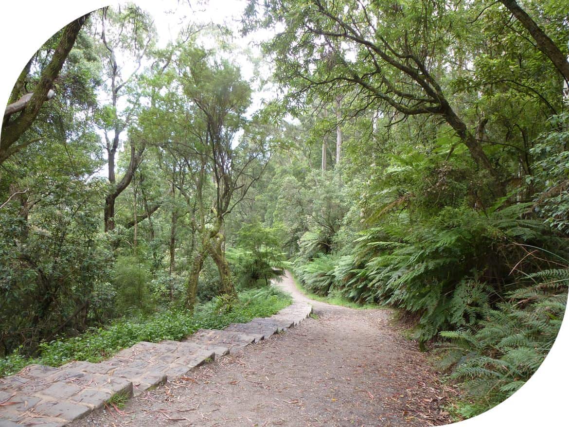
Lyrebird Track, this can be used as an option to the 1000 Steps on the walk to SkyHigh, Mount Dandenong.
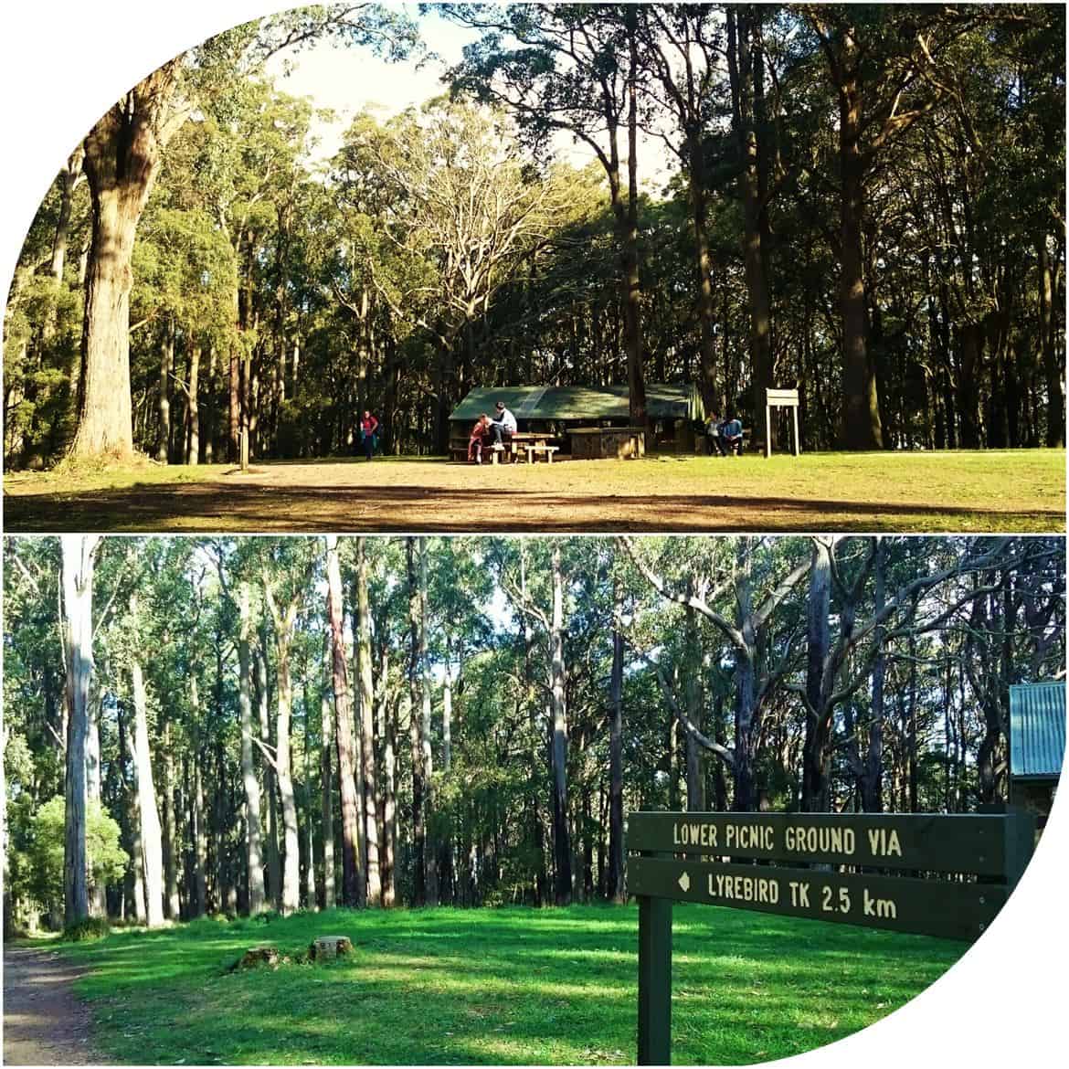
One Tree Hill Picnic Ground. Toilets, parking, picnic tables and BBQ’s.
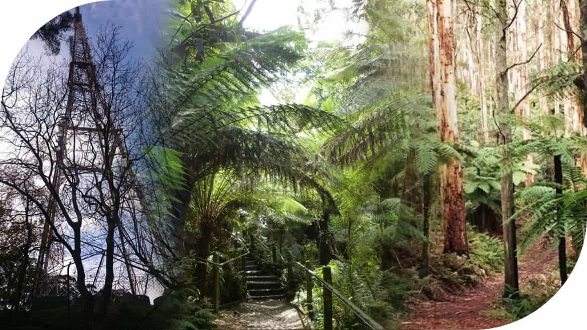
Alpine Track. An easy section mostly, lined with tree ferns…
Lovely walking, not too steep.
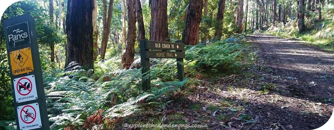

Bradley Track goes down past a gateway onto Basin-Olinda Road
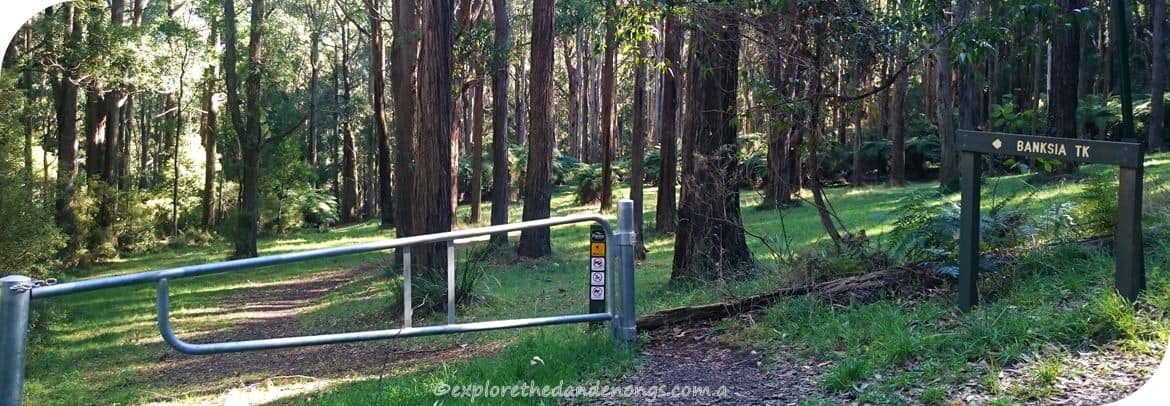
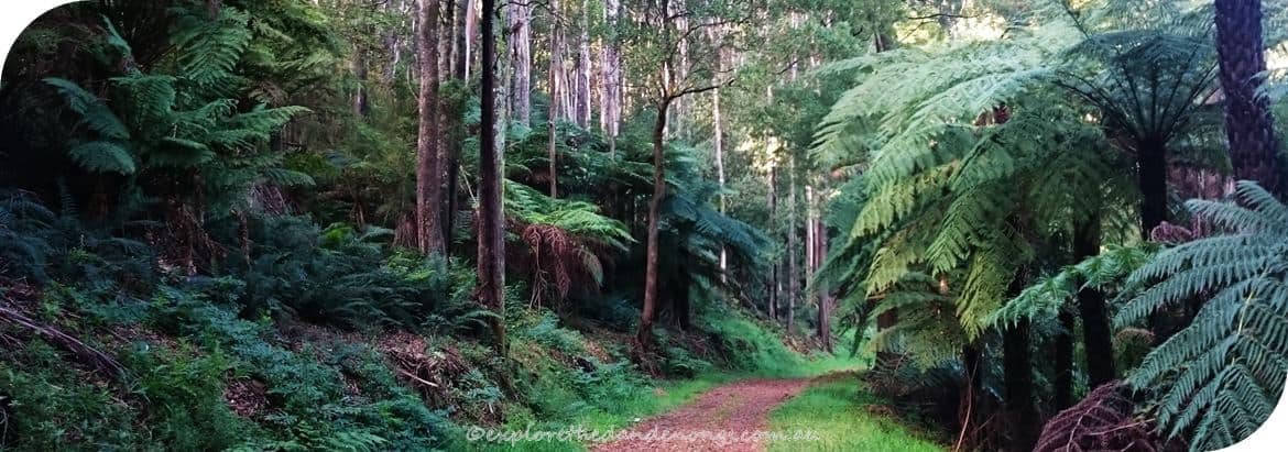
Banksia Track is a pretty walk through lush forest to then join Ridge Track.
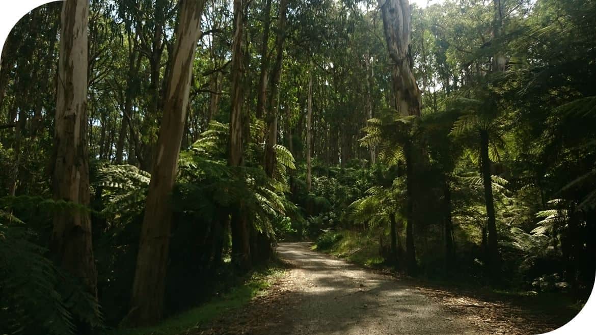
Doongalla Road, walk for about 1 km to the picnic reserve.
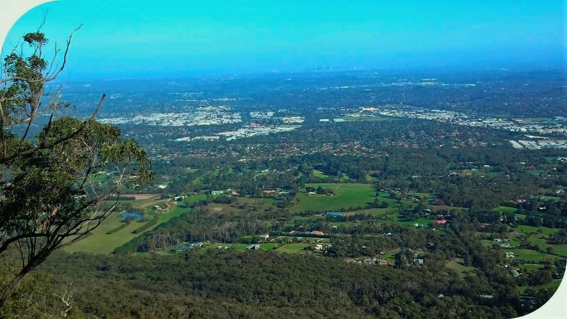
Burkes Lookout. A smashing spot to stop and gaze across the city to Port Phillip Bay…
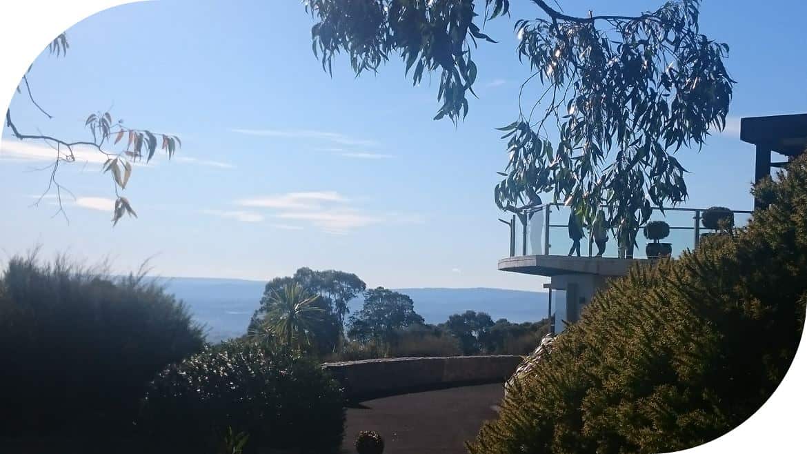
SkyHigh, Mount Dandenong. Views, cafe… Then end of a super walk through the Dandenong Ranges.
Reverse Walk Directions: SkyHigh to Upper Ferntree Gully
SkyHigh, walk down the exit road to Trig Track on the left.
Follow Trig Track to Join Kyeema Track, turn left.
Follow Kyeema for about 1.5kms, past Burkes Lookout and turn right onto Tower Track
Down Tower Track to ZigZag track, turn right and head down…
At the bottom of ZigZag Track, turn left onto Channel 10 Track.
Follow Channel 10 Track all the way to Doongalla Homestead, (toilets available) across the car park and keep walking on the Doongalla Road to the entrance.
Turn left onto Ridge Track, by the entrance gates to Doongalla Homestead grounds.
Follow Ridge Track until Banksia Track, then turn right.
Follow Banksia all the way until coming to Olinda-Basin Road.
Turn right, walk down the road a short way then join Bradley track.
Go right on Bradley Track, keep walking to join School Track, turn right.
School Track soon joins into Old Coach Road… follow Old Coach Road down until reaching the gate across the track.
OR Make a pit stop in Sassafras by continuing up Old Coach Track. It is about 15 minutes walk into Sassy… then return down to continue the walk.
Follow Old Coach Road/Track, through the Parks Victoria gate and continue down until the junction with Ferndale Road.
Turn left onto Ferndale Road and walk until coming to the Mountain Highway.
CAREFULLY cross Mountain Highway, looking out for cars and cyclists, especially cyclists coming down the hill as they are hard to hear and move fast!
Turn right onto Mountain Highway and walk for less than 100 metres until Alpine Track entrance is on the left, follow Alpine Track…
TWO OPTIONS: From Alpine, you can turn right onto Dobsons Track and walk up to Janesdell Track then turn right… OR Continue up Alpine Track until meeting Janesdell Track and turn right…
Follow Janesdell Track until it joins with Tyson Track... walk up Tyson Track to One Tree Hill Picnic Ground.
Walk through the picnic ground, following the signs to the lower picnic grounds…
TWO OPTIONS: Take the 1000 Steps/Kokoda Memorial Trail down to the Upper Ferntree Gully Picnic Ground or follow Lyrebird Track down.
That’s it! 20 km’s and 6 hours or so of walking continuously in the Dandenong Ranges!

