Walk from Olinda or Mt Dandenong Village to Skyhigh, Mt Dandenong:
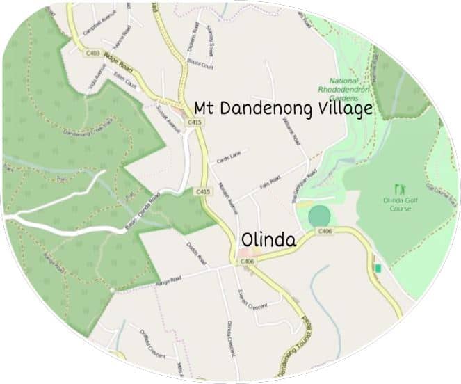
Mt Dandenong Village
Mt Dandenong Village, the name locals generally use, is technically Olinda North. A little confusing as there is about 1 km between the two shopping precincts. We shall call it Mt Dandenong Village on this website.
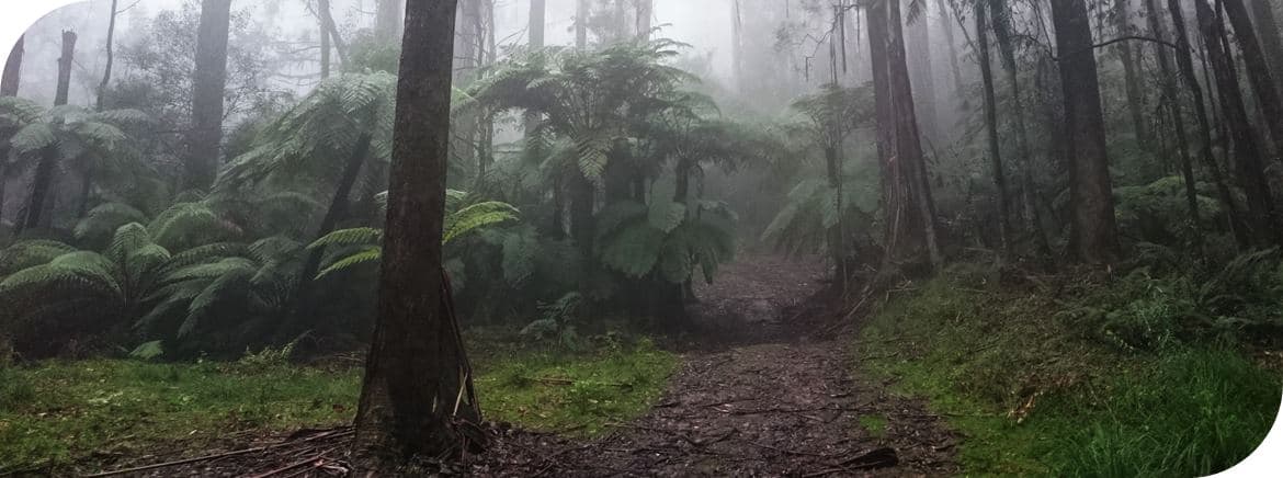
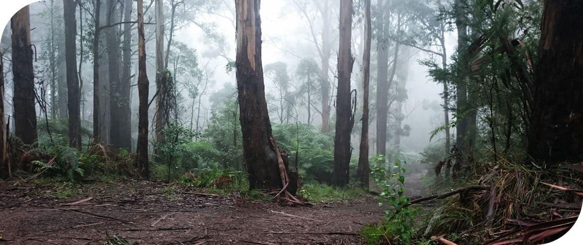
Walking from Olinda or Mt Dandenong Village to SkyHigh, Mt Dandenong takes 2.5 to 3 hours or so and covers some of the prettiest areas on the western flanks of Mt Dandenong. Misty days are a delight, don’t avoid a walk in the hills on these days necessarily.
It is also possible to walk between the villages of Mount Dandenong to make an epic day (or few days) of bushwalking in the hills. Or extend the hike just a little by walking from Sassafras to Olinda.
Walk Notes
- Approximately 10 km’s from Olinda & Approximately 9 km’s from Mt Dandenong Village | 2.5 – 3 hours EACH WAY.
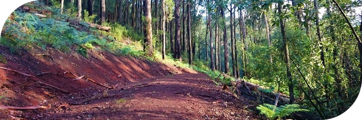
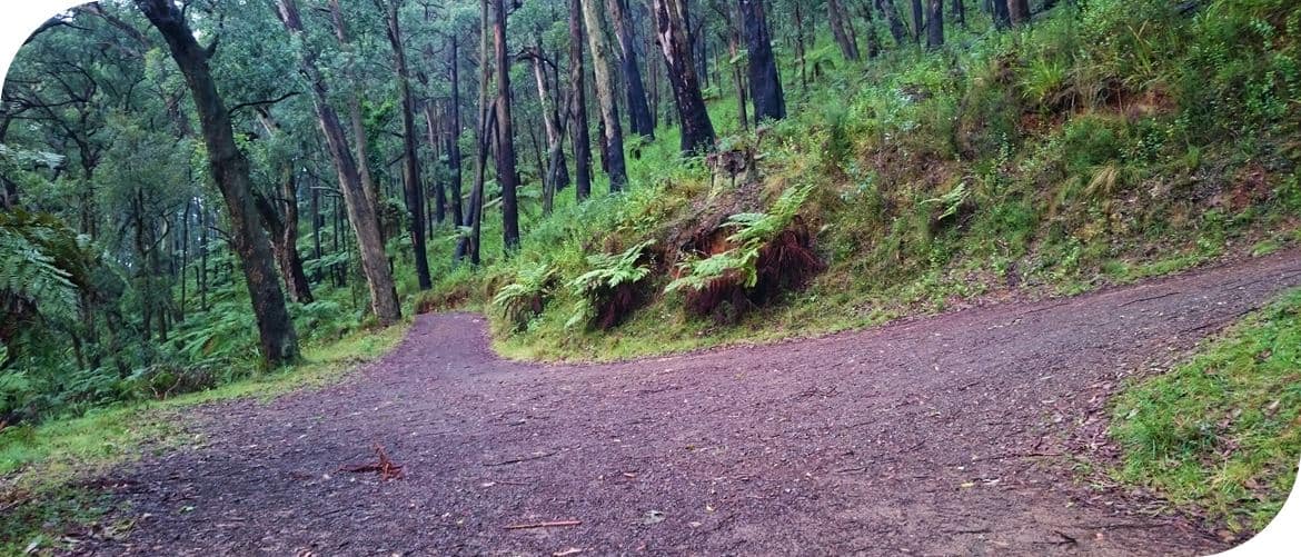
- Moderate > Almost hard walking on mostly well-maintained tracks.
- Parking: Olinda has limited parking, parking is advised at the Olinda Recreation Reserve which is about a 5-minute walk from the village.
- Parking: Mt Dandenong Village has limited parking available. Some parking is available behind the shops or opposite the Rhodo-Glade Retirement Village along the Tourist Road.
- Public Toilets in Olinda and at SkyHigh.
Get Driving Directions to the Recreation Reserve in Olinda
Public Transport: Train to Ferntree Gully or Croydon and then bus route no. 688. Get off in Olinda or Mt Dandenong Village.
Walking From Olinda:
Head up Range Road a short way, turn right onto Dodds Road and follow this all the way down to the end where the gate to the walking track is. Continue through the gate and down the hill, ignoring the first track to the left. This track becomes Caterpillar Track and is quite wide as it winds down to the Olinda-Basin Road where you then turn left and follow the public road about 200 meters to reach Dandenong Creek Track, clearly signposted, on the right… follow Dandenong Creek Track…
Walking from Olinda, Dodds Road/Track becomes Caterpillar track…
… Caterpillar Track then joins onto the Olinda Basin Road where walkers head left for about 200 metres to join Dandenong Creek Track on the right…
Walking from Mt Dandenong Village:
Two Options available:
- Simply walk down the Olinda-Basin Road for about 1.2 km’s until reaching Dandenong Creek Track on the right and then join this track
- OR Walk up Ridge Road from Mt Dandenong Village for under 1 km until Viola Avenue is on the left (a footpath runs along Edith Court and joins Viola). At the very end of Viola is a gate into the forest. Walk through the gate and head straight down the hill, under the power line, until joining into Dandenong Creek Track. Turn right on the track…
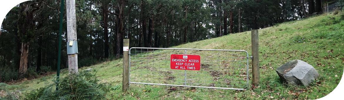
At the end of Viola Avenue is a gateway into the forest… continue walking around the gate and head downhill, under the power lines…
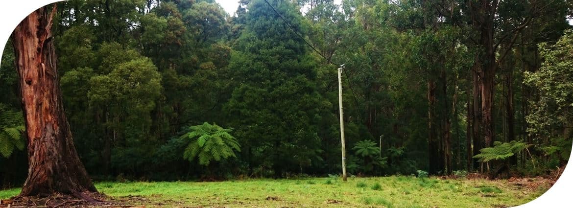
Walking downhill, the track is grassy and follows beneath the power line until reaching Dandenong Creek Track where walkers turn right and join the track…
Walkers starting at either Olinda or Mt Dandenong Village will now be on the Dandenong Creek Track, heading towards SkyHigh, Mt Dandenong.
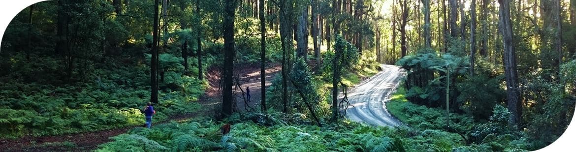
- Continue on Dandenong Creek Track until the junction with Channel 10 Track
- Turn right onto Channel 10 Track until the junction with ZigZag Track
- Turn right and head up Zig Zag Track, this is the steepest part of the walk, until reaching the junction with Tower Track
- Turn left onto Tower Track until meeting Kyeema Track
- Turn left onto Kyeema Track and follow it along past Burkes Lookout, continuing all the way on the track which runs below SkyHigh until Trig Track finally leads off to the right (at the time of these notes being written there is no signpost for Trig Track) From Burkes Lookout it is 1.5 km’s to Trig Track.
- Turn right, follow Trig Track all the way up to SkyHigh!
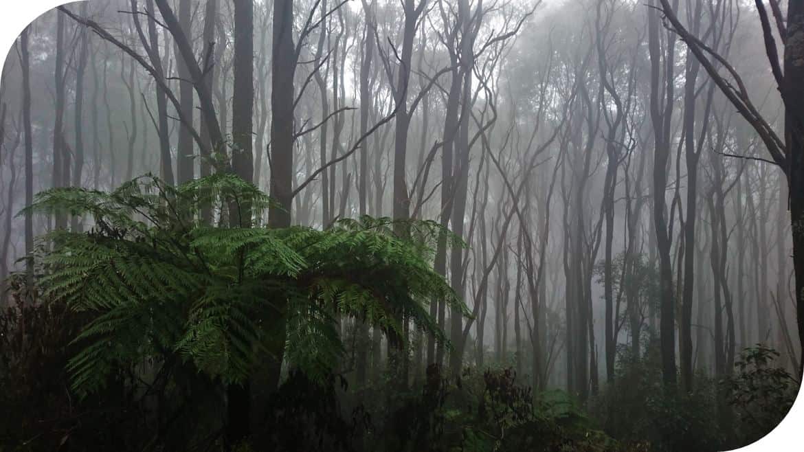
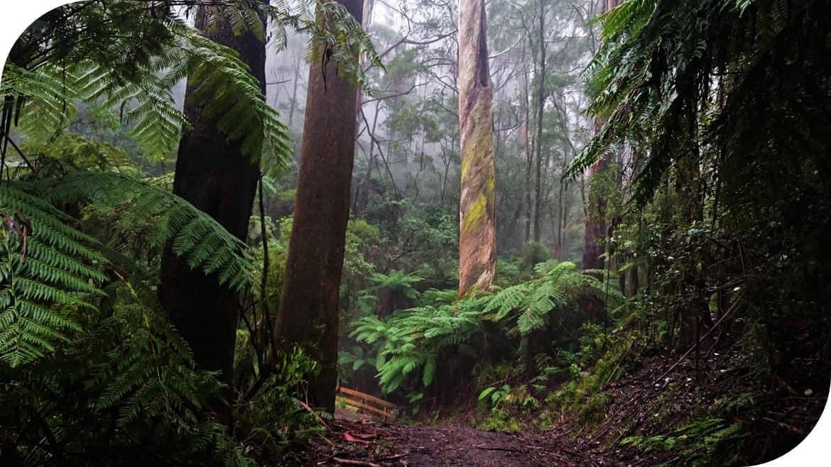
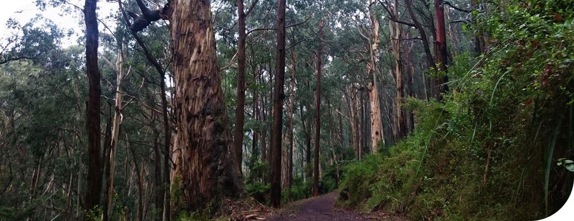
Misty days in the hills are splendid too!
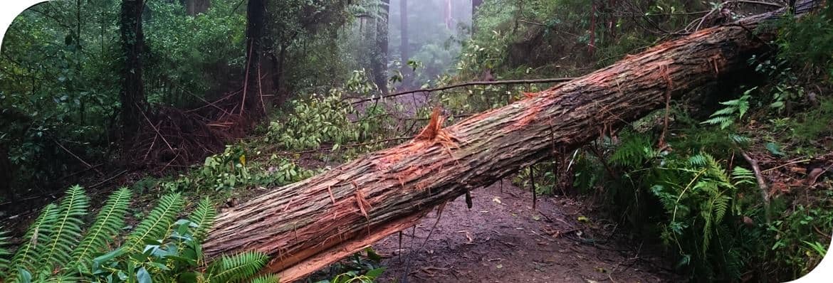
Be aware that there can be an occasional fallen tree to negotiate!
Dandenong Creek Track at the point where walkers can join up if heading down from Mt Dandenong Village on Viola Avenue.


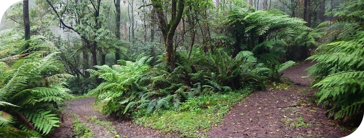
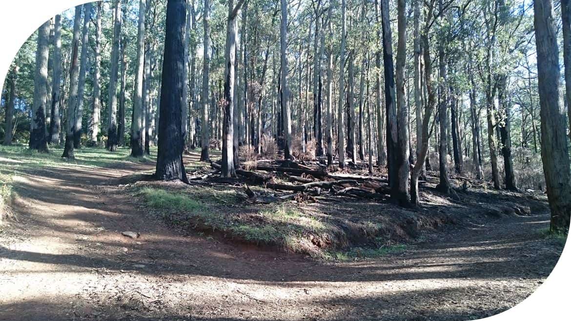
Dandenong Creek Track
Dandenong Creek Track junction with Channel 10 Track… turn right…
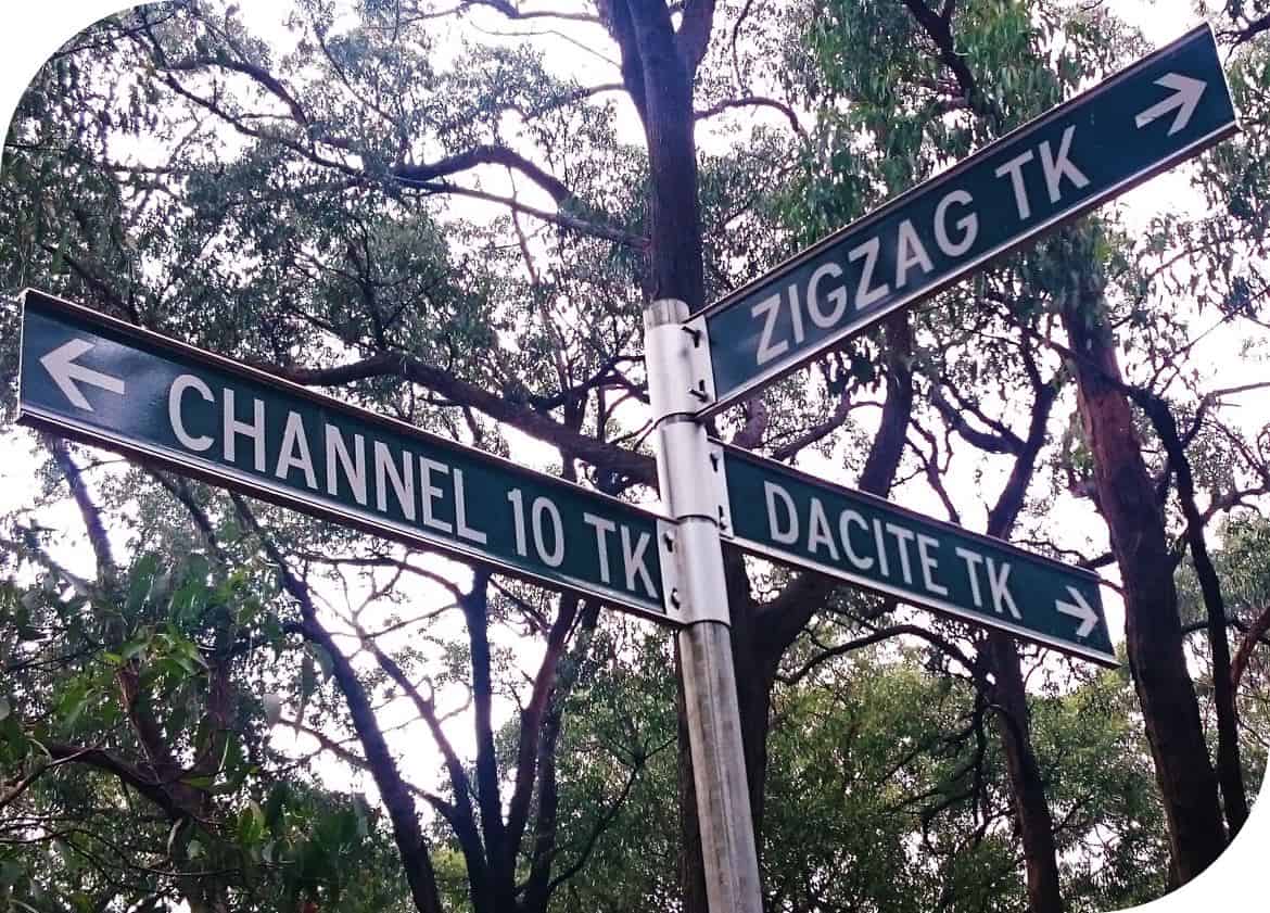
Coming up Channel 10 Track to the Junction of Dacite Track (straight ahead) and ZigZag Track to the right… Follow ZigZag Track up the hill.
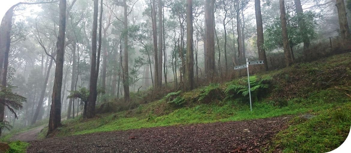
Turn left onto Towers Track, passing below the TV tower…
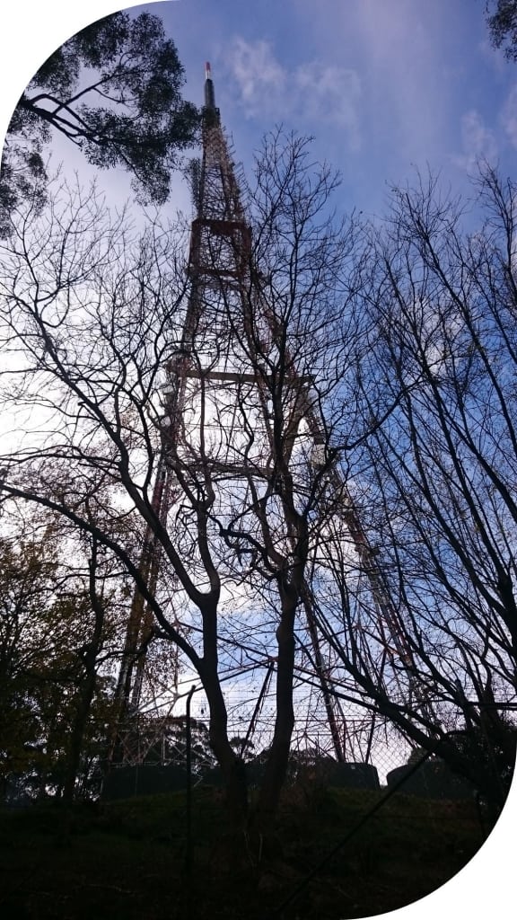
Past the tower and then turn left onto Kyeema Track, heading along the track to Burkes Lookout.
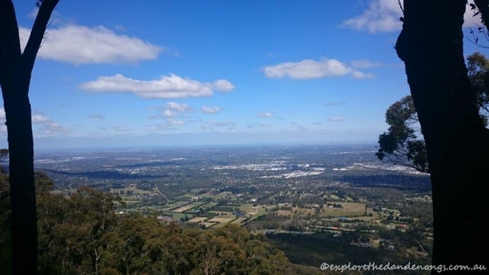
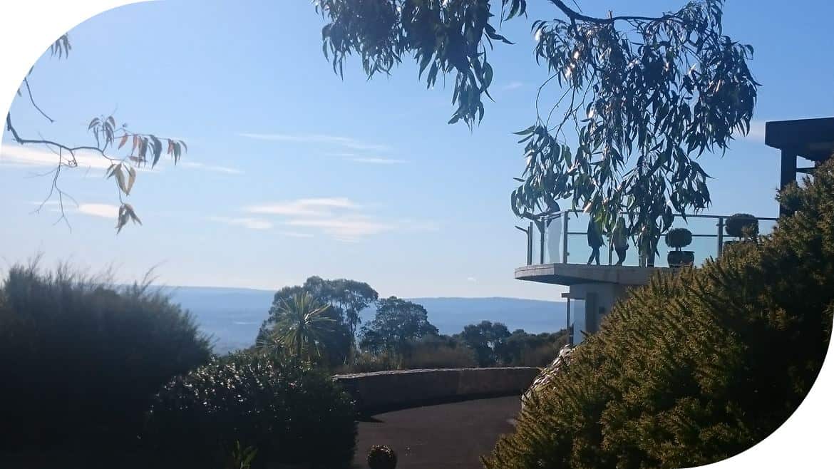
View from Burkes Lookout along the Kyeema Track. A little further along is the memorial to the Kyeema plane crash in 1938.
Junction of Kyeema and Trig Tracks.
SkyHigh, Mount Dandenong!