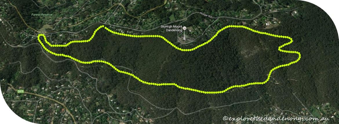
Mount Dandenong’s Western Slopes Bushwalk
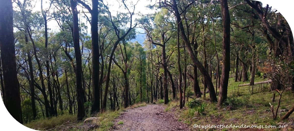
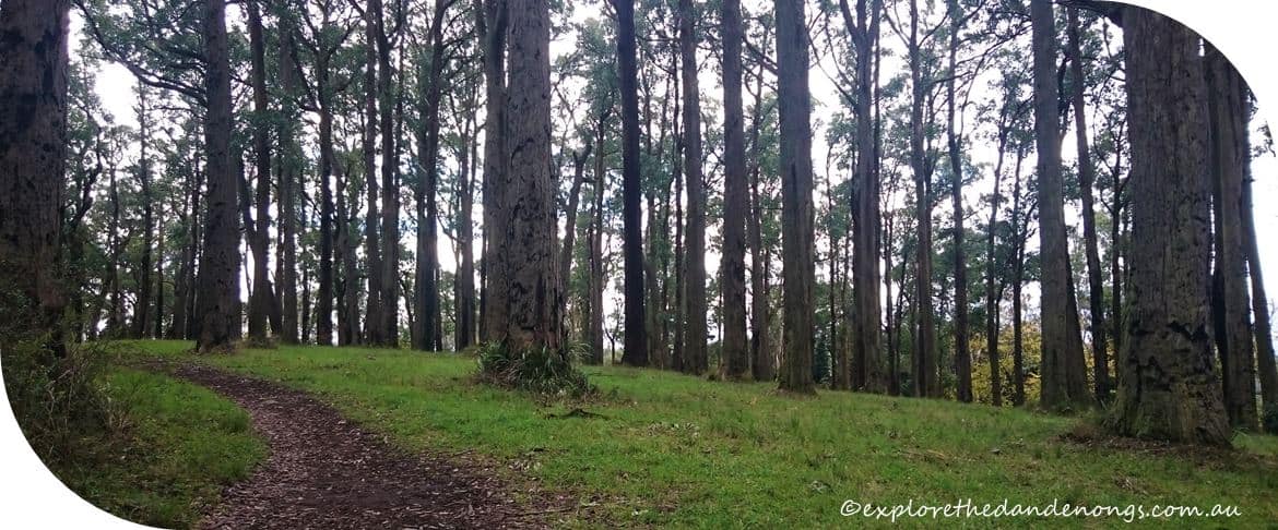
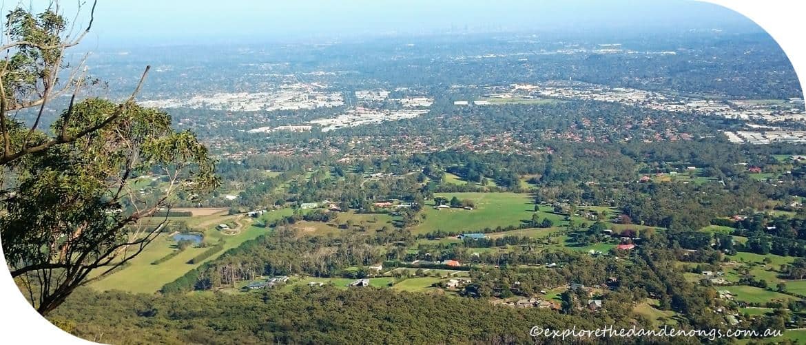
The western slopes of Mt Dandenong roll down to the outer suburbs of Melbourne with some stunning views and tough walking combined with sections of easy, undulating terrain. Another strenuous hike on this side of Mt Dandenong is the Fire Trail / Glasgow Track.
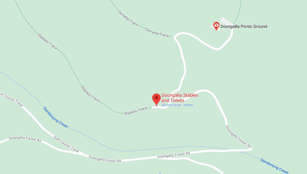
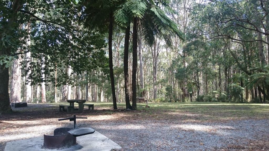
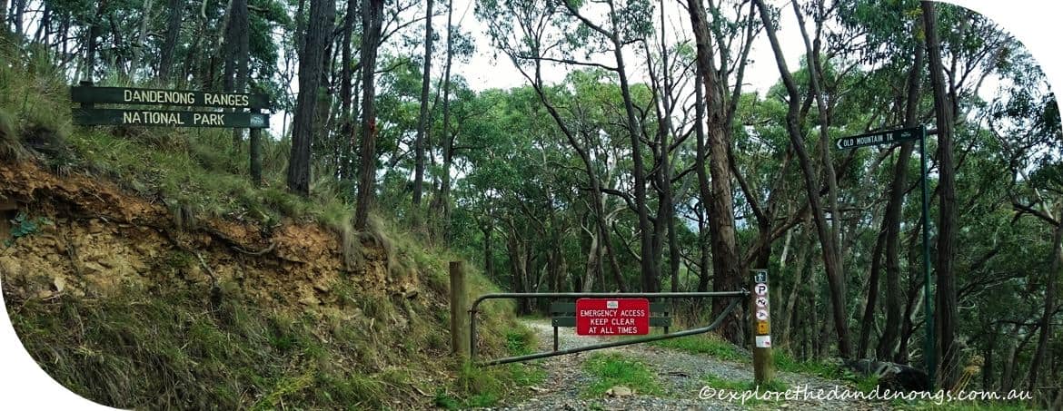
The Doongalla picnic area is an ideal base to start this hike from. It is a lovely drive in from the Basin and has large picnic areas as well as easy parking.
WALK NOTES
- Distance: 12kms approx. | 3 – 5 hours
- Moderate > Hard
- Toilet facilities at the Doongalla picnic area, SkyHigh, Mt Dandenong, and also in Destiny Point Cafe at 5 Ways, Kalorama (if eating in the cafe).
- Get Directions to Doongalla Homestead and picnic area to start the walk.
- OR start the walk opposite the CFA Station on Ridge Road (near Falls Road ) Get Directions
- Public Transport: If coming via public transport, it is best to start the hike at the top. Get the train to Upper Ferntree Gully or Croydon then bus route no. 688 to the Dandenongs. Make sure you are on the alternate bus that goes along Ridge Road, get off the bus near the CFA at the corner of Falls/Ridge Roads. You can also get off the bus at 5-ways Kalorama and start from there.

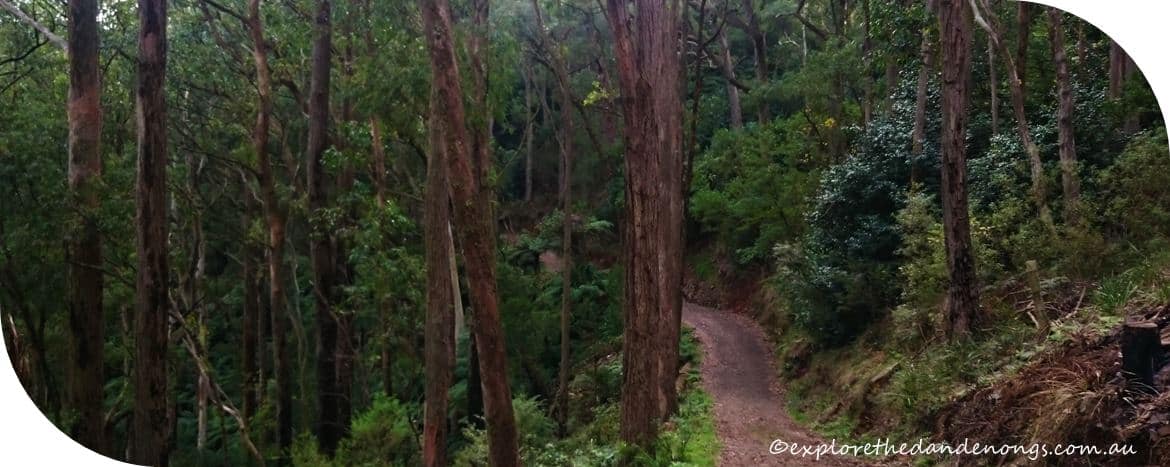
Western Slopes Hiking Track, Mt Dandenong
Get Directions to Doongalla Homestead and picnic area to start the walk. Park at the Stables car park, which is the first one you come to, then walk up the road a little way to the beginning of Camelia Track.
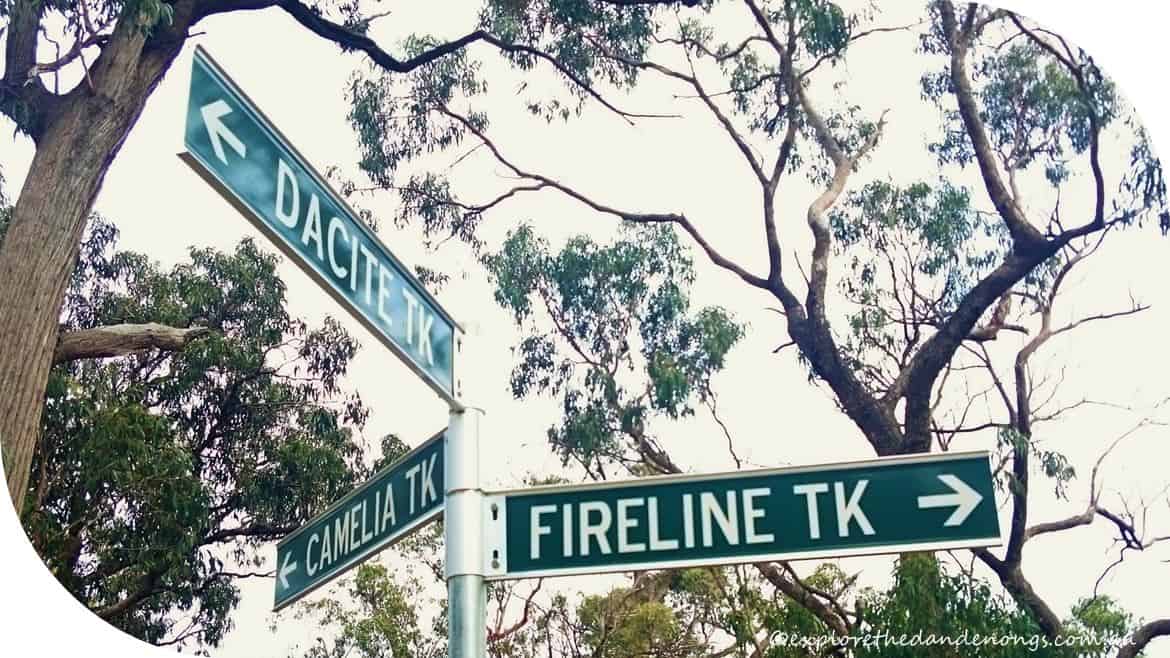
- Follow Camelia Track all the way to where it becomes Fireline track at the junction with Dacite Track.
- Continue on Fireline Track for a couple of kilometres to join Old mountain Road and turn right.
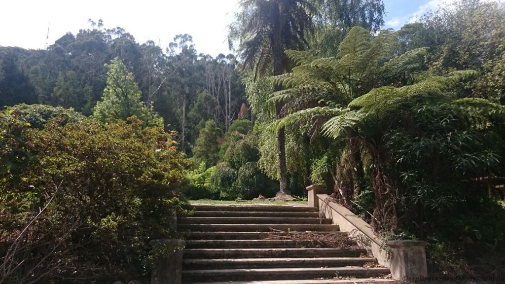
- Follow Old Mountain Road up the hill and past a few homes to join Old Coach Road and immediately turn right and pass through into the grassy reserve which is right by 5 Ways Kalorama (there is a cafe here if you want to stop in).
- Keep walking to the right, and follow Trig Track below the buildings and down the hill before climbing up the steepest section of this walk. We have dubbed this ‘The Goat Track’!
- At the top, you will come to a level area of the forest and be near the CFA on Ridge Road. Keep following Trig Track down to the right to the next junction which is Kyeema Track, turn right.
- (There is the option to continue on Trig Track up the hill to Skyhigh and the cafe, then return to Kyeema Track).
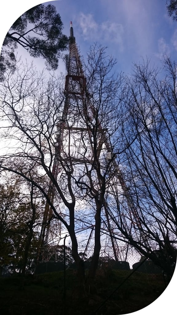
- Follow Kyeema Track for a couple of kilometres all the way, passing Burkes Lookout, to the junction with Zig Zag Track and head down the steep hill beneath the Channel 10 transmission tower.
- At the next junction, turn left onto Chanel 10 Track.
- Follow to the junction of Dandenong Creek Road and Doongalla Forest Road, turn right down the forest road back to the old Doongalla Homestead and picnic area. The Stable car park is a little further down the road.
More Walks Nearby
This article may include affiliate links. Please read our disclaimer.